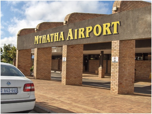
Umtata Airport
Airport Profile
The Mthatha Airport Profile provides pertinent general information, such as Airport location, ownership, and overall size in instances where data is available. What is important about this airport is the scarcity of data regarding airport’s infrastructure, operations and air cargo/airline activity). This airport shares a similar historic development as Bisho Airport its counter-part for a lack of a better word, located in East London (Buffalo City Municipality) – see Bisho Airport Section as well information on the Blue Skyway Aviation Strategy.
Airport development worth between R 15 million to 30 million has been earmarked to upgrade facilities, runway capacity and develop land in the surrounding areas to promote the agricultural sector for opportunities to export to an international market.
The airport is further categorised as a Civilian Airport with the following World Aviation Code:
IATA Code: UTT
Mthatha airport is located in proximity of Mthatha City which used to be part of the former Black Homeland of Transkei in the Eastern Cape Province. Mthatha is located on the N2, the direct route to Durban in KwaZulu Natal Province. The geographical coordinates are:
- Latitude: 31 degrees 35’ 0” S - Longitude: 28 degrees 47’ 0” E - Elevation: 2,400 feet or 732 meters
The airport is owned and operated by Government (DoT – Eastern Cape – see Bisho profile). Government appoints all administrative staff and approves plans and expenditures for all Airport facilities. Numerous packages have been proposed in order to help facilitate “rehabilitation” of the basic airside and landside facilities.
Day to day administrations is the responsibility of the Airport Manager.
The airport has a good portion of land for growth/expansions. Land surrounding it will be appropriately zoned if agricultural uses are promoted. These will be the best compatible land-uses in proximity to Airport land.
Airport Activity
Air passenger Activity
There is limited activity in this category. The data is not available, but will be updated in due course.
Air Cargo Activity
There is limited cargo activity at the airport. No data available to analyse.
General Aviation Activity
There is limited activity in GA. The majority is assumed to stem from the Training of students and other private/business jets using the facility for ease and convenience. There no quantifiable data to make further statements.
Military Activity
No data was available.
Airspace and Air Traffic Control
Logic dictates that a rudimentary instrumental system or even a radar system is in place at the airport to facilitate flight landing. Data to support the systems in place will be updated in due course.
Airport Facilities
The airport lacks scale and scope to handle cargo freight or passenger enplanements of more than 1, 000 per month at this time. Runways
Runway length: 6650 ft Runway Elevation: 2,400 ft
Taxiways and Aprons
|


